
Day 16: Whananaki Holiday Park to Nikau Bay eco camp
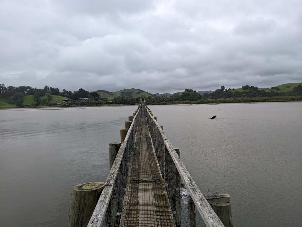
The forecast heavy rain for overnight thankfully never showed up although it was spotting a bit when I woke up. I got up quickly to take my tent down just in case it did start pouring, but it didn’t. The trail from Whananaki North, where the Holiday Park is located, leads straight to the longest footbridge in the Southern hemisphere.
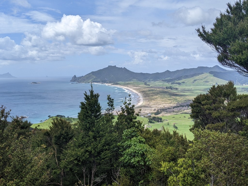
There was a short stint along the shore next, which was passable since it was low tide and then it was onto the Whananaki coastal walkway, that meanders along the coast from bay to bay with lots of gorgeous ocean views.
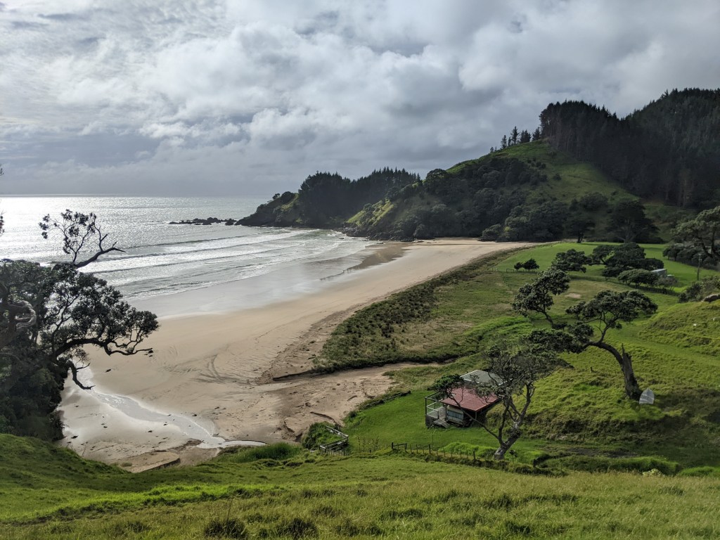
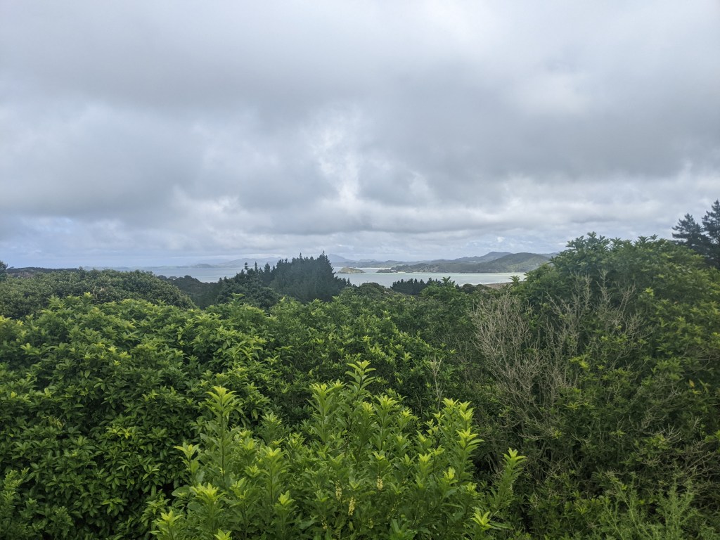
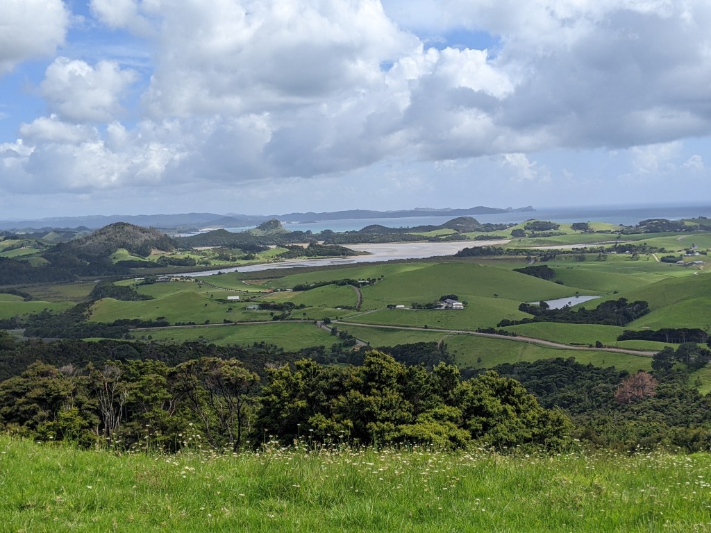
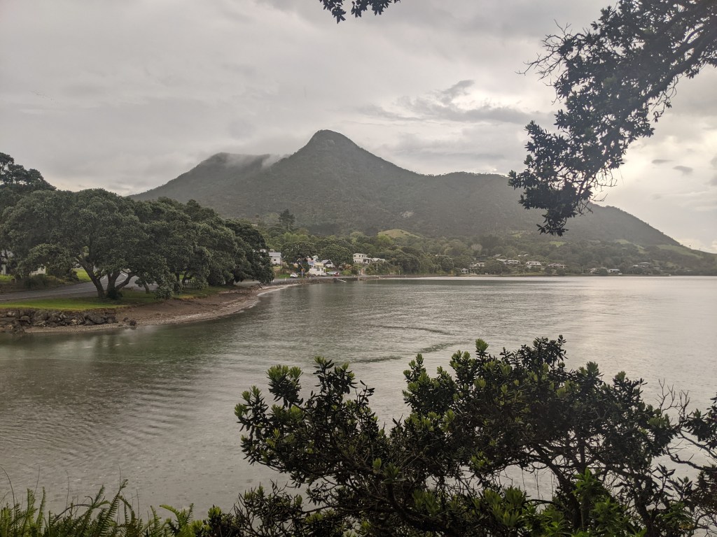
The walkway comes out near Sandy Bay and then follows road. However, we had decided to deviate from the official trail and take the road that goes through Matapouri since it has a Dairy with a takeaway and because it follows the coast and would likely be quite scenic. After passing another beach at Wooleys Bay, it was into Matapouri, where I got a chicken burger with avocado and some sweet potato (kumara) fries (chips). Both delicious, but I especially enjoyed the crispy sweetness of the fries. It had started raining heading into Matapouri, but was clearing again by the time we left onwards to Ngunguru. There was a nice viewpoint as we approached Ngunguru that we stopped at to check out.
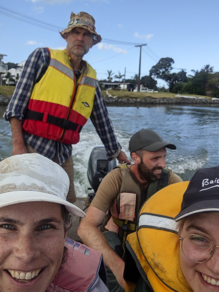
We stopped at the store in Ngunguru to get some supplies and texted James, the owner of the Nikau Bay eco camp, since he ferries people across the estuary there, and arranged our pick up. We were 6 people so he had to take us across in two goes since with the packs, his boat fits three hikers.
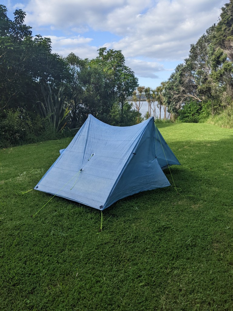
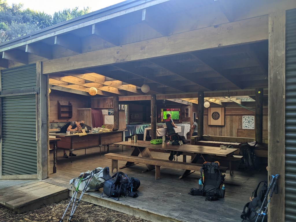
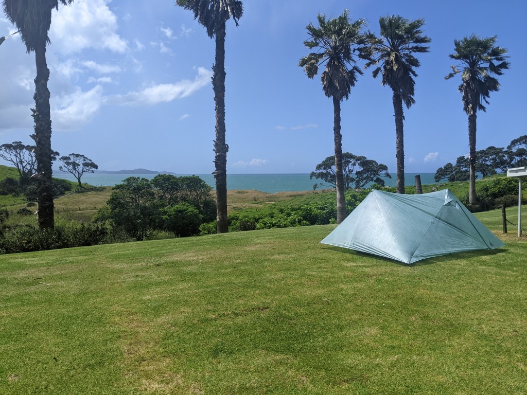
We learned that the woman whose land we were supposed to cross first thing tomorrow just passed away the previous night. This meant that we might not be able to use the usual route since we might not be able to get permission from the family to cross. James was planning to go see the family and express his condolences and see what they’d say. I set up my tent meanwhile and explored his lovely camp that was some wooden cabins/bunk rooms and a big open air but covered kitchen.
After dinner, we did learn that we would have to do a detour around the property since James was unable to speak with the family. This also means that we won’t be crossing the Horahora estuary since the detour will take us around it. There is a 4.5 km section of forest track on the detour, so at least it’s not all road walk. It also means that it won’t be possible to do the next estuary crossing, the Taiharuru, tomorrow since the detour will take too long and the tide will be high when we get there. The tide will be low again at 11pm so that’s not really an option either. I guess this is just one of those unpredictable things that happens that you just have to roll with.
Day 17: Nikau Bay eco camp to Treasure Island Camp
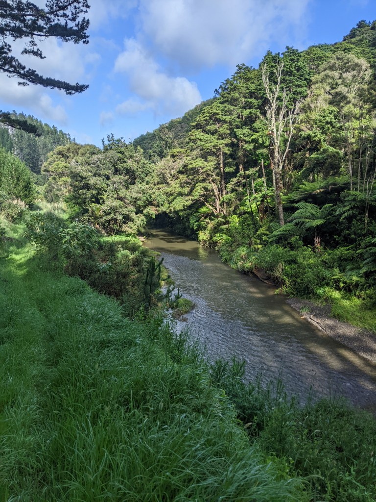
James had offered to shuttle us the first 8km of the detour to the start of the Mackerel forest track, and I was in the second batch at 8 am. I had time to enjoy some of the fresh coffee that he’d brewed for us before we left. With four of us in the back seat, it was a squished ride, but still very much appreciated. I started down the forest track, which was as per usual a bit wet and slick in the mud. It was great to be on a track though, in the forest, with the bird calls and the morning rain evaporating in the sunshine. The track follows a stream that we had to cross twice, but it wasn’t at all deep, thankfully, since the current was surprisingly strong.
The track was over too soon and it was along the road for 6 km to rejoin the trail and then 6 more kms to Pataua, where we’re staying at a campground called Treasure Island, which is right next to the beach.
After setting up camp and having lunch, we headed down to the beach and I had my first dip in the ocean. The water wasn’t cold at all, maybe just slightly getting in and the waves were big, so we had some fun body surfing in them.
It was a short day today and was really nice to have some time to relax at the beach, until it started raining that is. I’m unsure of what to do tomorrow since it won’t be too early a start as the earliest we can cross the Taiharuru estuary is 9 am and although I’d like to make it 32 km to Reotahi Bay (and my resupply box), there are some tough climbs so this might not be feasible. I think I just about have enough food to take an extra day if I need to, so it should be fine either way.
Day 18: Treasure Island camp to Reotahi Bay
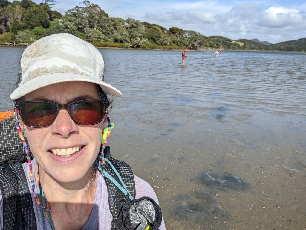
It was a quick road walk to the estuary and then after taking off our shoes, it was off into the water. It was about 3km of walking through the water from ankle deep to about biotin of the bum deep. There were markers showing us where to go so it was straight forward.
It ended in some mangroves, which coated our feet in the darkest mud ever.
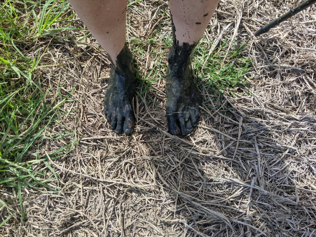
After wiping my feet on some grass and rinsing them with a bit of water, they looked much better and I could put my shoes on. After following some roads, we ended up on Kauri Mountain track, which climbed to view point that had views back to the estuary and forwards to Ocean beach.
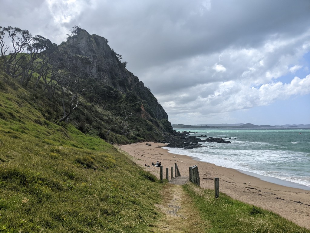
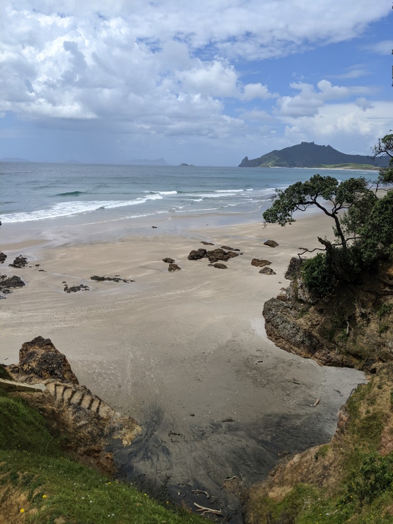
As we descended to the beach on a farm road, I had to walk past some cows that were right on the road but luckily they were busy head butting each other and didn’t seem to mind me. There were also some little calves further on but they just ran away. It was onto the beach and 7 km of beach walking.
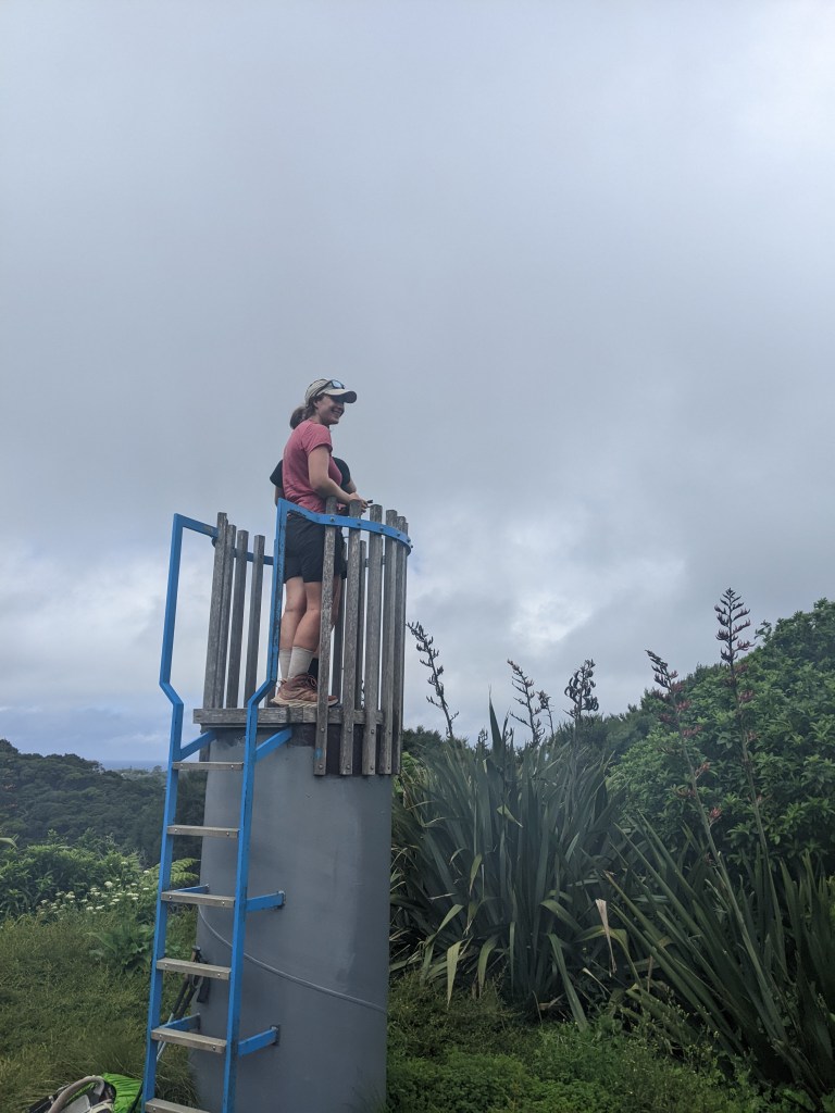
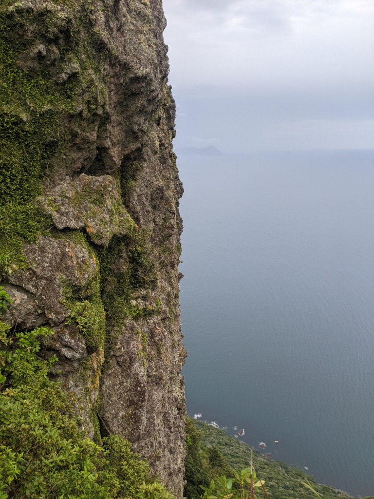
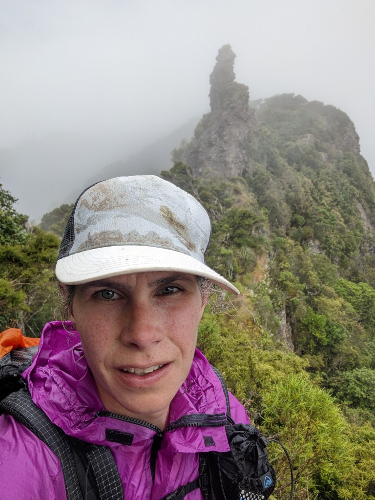
I made the decision at the end of the beach to keep going. As I started up the Te Whare track to Bream head, it started to thunder but luckily I only got light rain off and on. The track was a good climb, sometimes grass, sometimes gravel, sometimes stairs and sometimes mud. I also took the detour to go scramble up one of the ‘heads’ for some fantastic views.
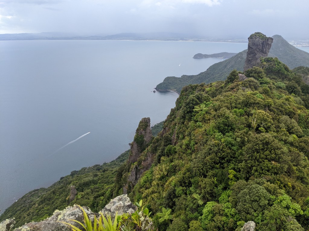
It was up and down and up and down along the ridge before eventually (seemed to take a while) making it to Mt Lion, which also has some pretty nice views.
Then it was down, mostly on a gazillion stairs, to Urquharts Bay.
After a 6km road walk, it was onto a track that leads to Reotahi Bay and my home for the night a Thistle Do. I paid $20 for a bed in a bunkhouse with a bathroom and kitchen, but I get the whole place to myself since no one else is here. Pretty sweet. Graham, the owner, told me that this area was settled by Nova Scotians from Cape Breton.

Leave a reply to Rachel V Cancel reply