Day 110: Boyle Village to Hope Halfway hut
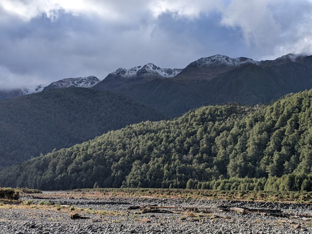
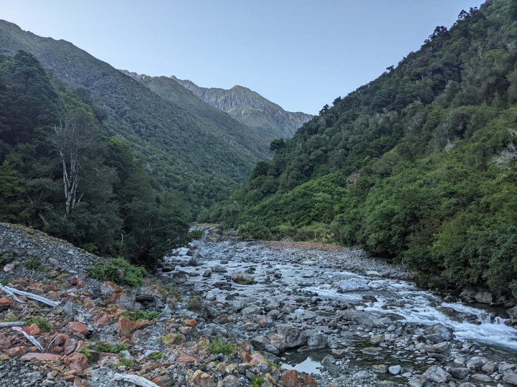
I had a late start today as I only got on trail after lunch (another pizza). It was blazing hot and the trail of course started off being very exposed. It was a short stint on a track next to the highway and then down into the Boyle River bed. Eventually the trail climbed up away from the river bed and offered some lovely views of the river and surrounding mountains before heading into a deliciously cool forest.
The trail emerged from the forest shortly before the hut, which is set a bit up from the Hope river. It’s an older hut and there are a lot of sandflies, but it’s home for the night. Surprisingly there were few sandflies down by the river and I enjoyed a peaceful dip and drying off in the evening sun afterwards.
Day 111: Hope Halfway hut to Hurunui hut
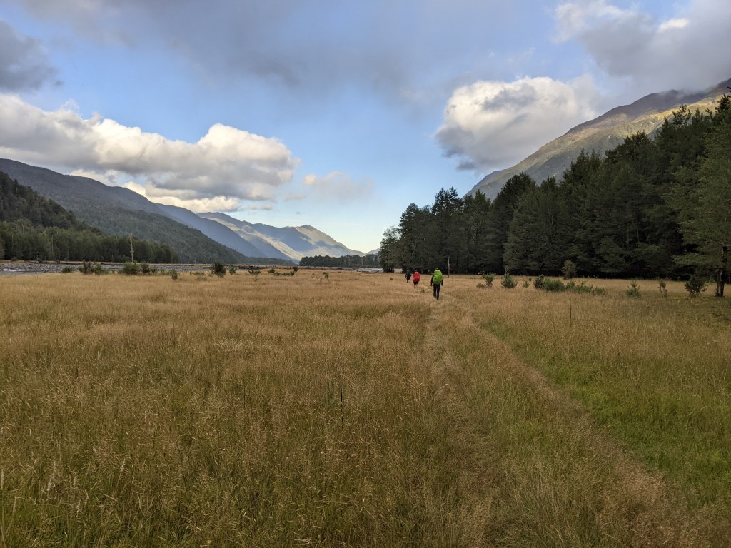
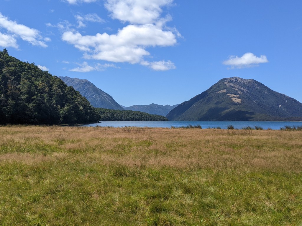
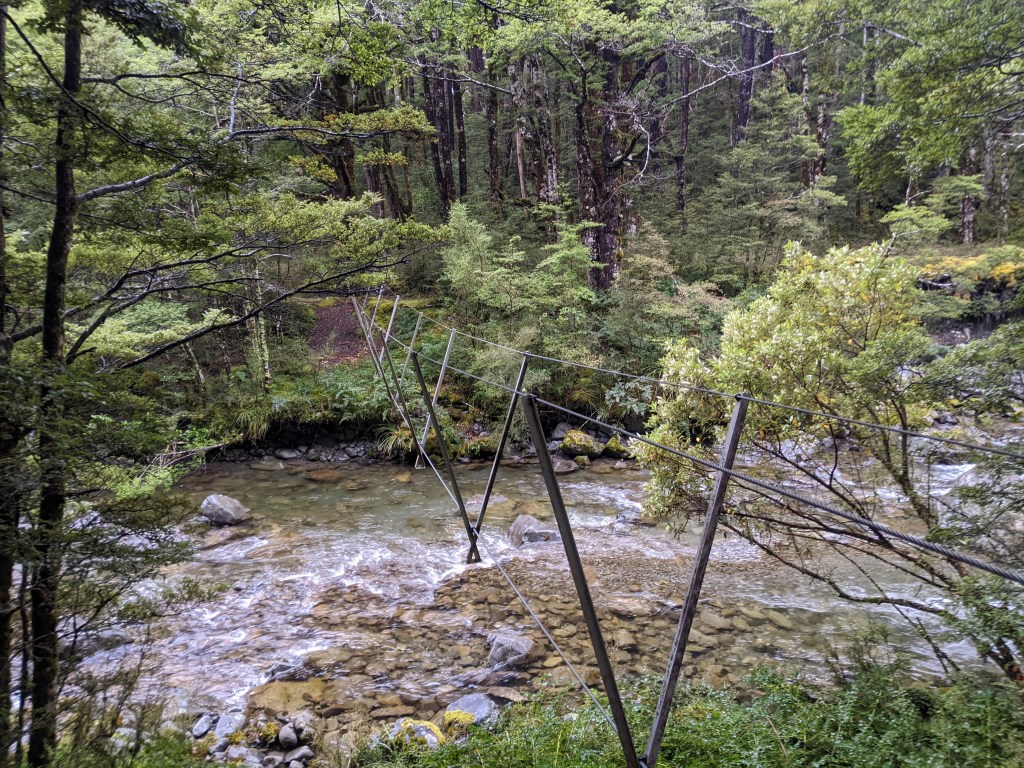
The day started off with an easy track along the Hope river, mostly through some fields. A swing bridge eventually crossed the river and then the track led to the Kiwi river, which it followed to the next hut, the Hope Kiwi Lodge.
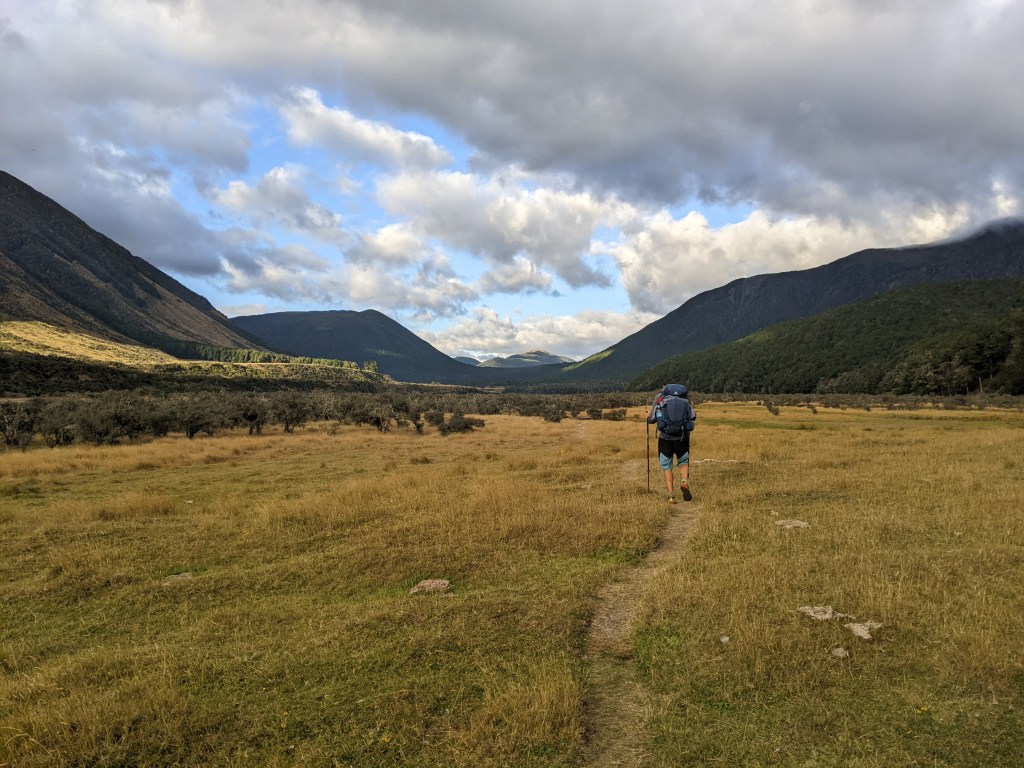
I didn’t stop since it was too soon for a break and continued through the grassy fields. Eventually the track went into the forest, which was nice since the sun was coming out and the day was quite hot again. I enjoyed the forest section even though there were a lot of roots and downed trees to navigate. The only downside was that the track was passing Lake Sumner, but I only had glimpses of the beautiful blue water through the trees. Even a ‘lookout’ didn’t offer much of a view of the lake.
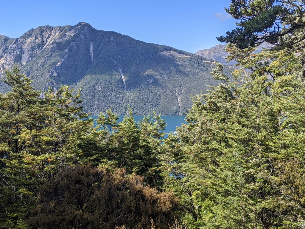
Finally, at the end of the lake, the trail emerged from the trees and I had a good view of the lake. I stopped for a lunch break there, but the sandflies decided to have me for lunch so it was a quick affair.
The track skirted some cattle fields and then went back into the forest before emerging again into the fields and crossing these to the Hurunui river, which was crossed on another swing bridge. It was windy and the swing bridge was a longer one, making the crossing a little more challenging than usual. Once across, it was a quick couple of kms to the Hurunui hut. It was about 2:30 when I arrived, but I decided to call it a day since the next hut was 10 km away. I was the only one for a while, but then 4 nobos and Lea arrived. It’s still not crowded since it’s a 15 bunk hut. The clouds started to roll in in the evening, so it looks like the forecast rain for tonight and tomorrow will come true.
Day 112: Hurunui hut to Hurunui no 3 hut
I woke up to light drizzle so I got going as quickly as possible since it was supposed to get worse as the day progressed.
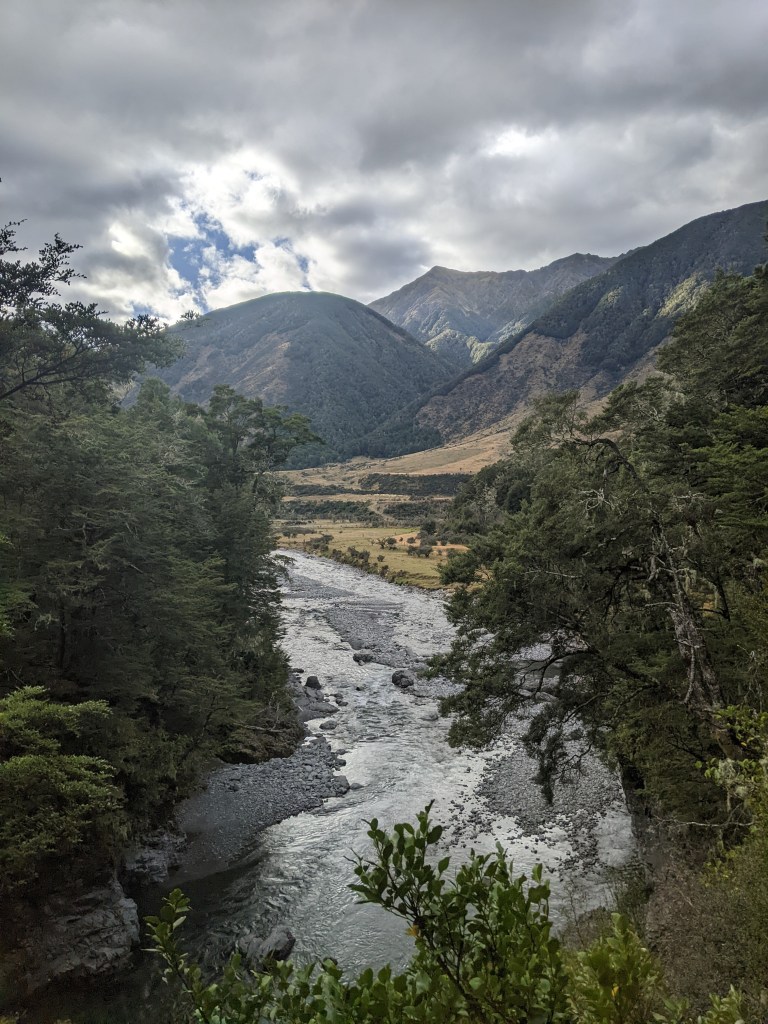
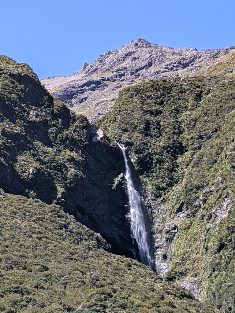
The track follows the Hurunui river through the forest and also down on the bank. After about 5km, I crossed a stream that was flowing with warm water so knew that I had found the natural hot springs. Climbing up a bit, I found the pool already occupied by three nobos. I hadn’t necessarily planned to stop for a dip, but it was too tempting and there were no sandflies around. So in I got and had a good soak for a half hour or so.
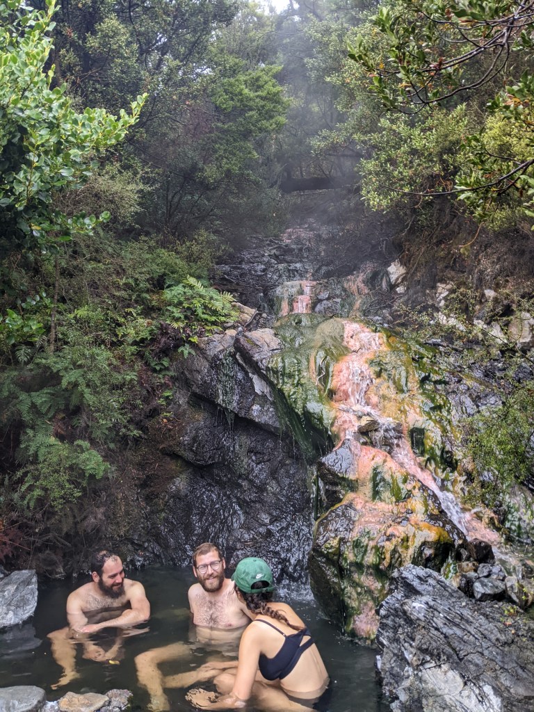
The only downside was that my underwear were now soaked and are the only ones that I have, getting my hiking clothes quite wet. After the hot spring, many people follow the riverbed instead of the trail, since it’s supposed to be easier. I opted to do this and it wasn’t always clear where exactly to go, but other times there would be a clear track to follow through the grass. It started to pour and I felt quite cold even though the wind was blowing from behind me and not in my face. I was extremely glad to get to the hut and get into some dry clothes and have some food and a tea. I was pretty certain that I wouldn’t go any further unless the weather miraculously improved, which it didn’t. There were four people already at the hut who had decided to zero and Lea showed up a bit after me and also decided not to go on. We lit a fire in the stove and I passed the afternoon reading and listening to a podcast.
Day 113: Hurunui Hut no 3 to Kiwi hut
It was only drizzling this morning, but boy was it chilly, especially my feet since they were soaked from the grass within seconds. The trail also went in and out of tons of streams today, so that as soon as I started to get feeling back in my feet, they’d get soaked again with more icy water. Only one of the streams had a ‘bridge’ across it.
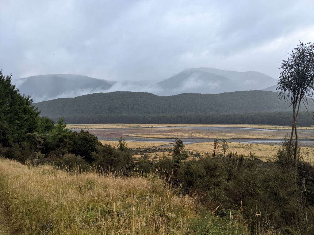
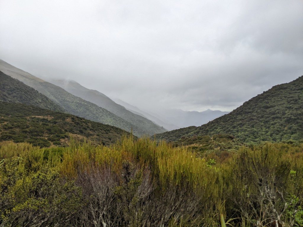
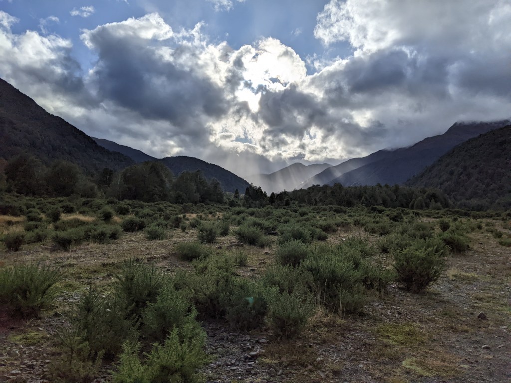
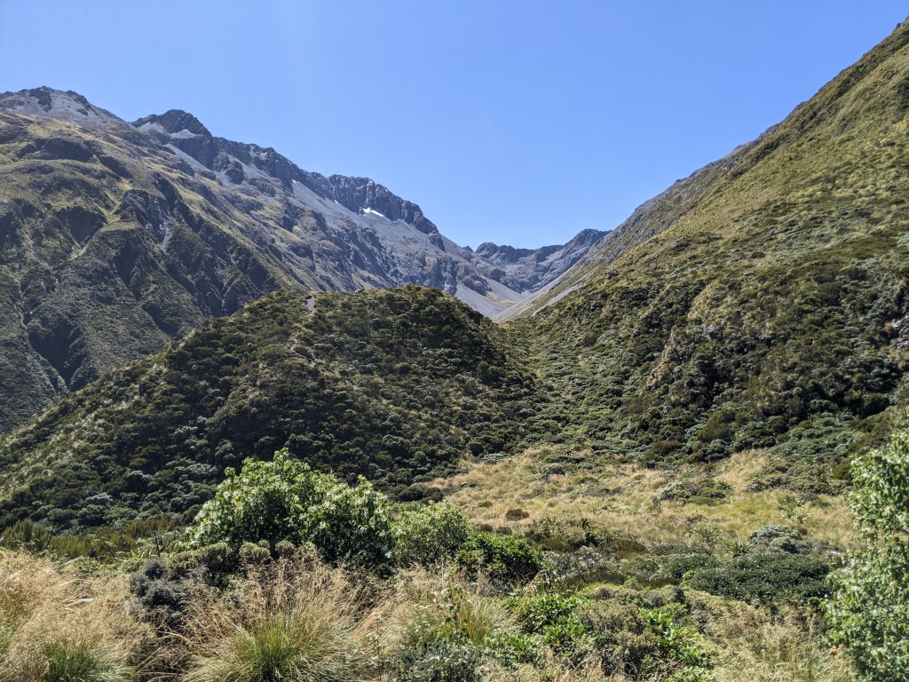
It was otherwise a nice track, including a small climb up to Harper’s pass. The view was moody, but at least there was a view.
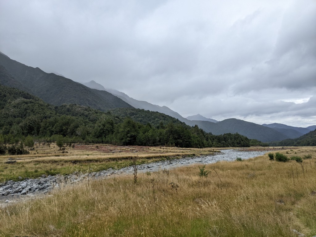
There were also several huts and bivvys (2 bunk emergency shelters) along the way so that there were dry spots to take breaks. The rain also let up now and again and was never hard. The last part of the day was along the Taramakau River, which was still quite easy to cross despite the rain. I reached Kiwi hut with Mario and Jaime at about 3:30 and we started a fire to warm up a bit, it possibly wasn’t much more than 10 degrees today.
Lea also arrived a little later so we’re four in the six bunk hut.

Day 114: Kiwi hut to Arthur’s Pass
It was another cold morning and when the clouds cleared, it was still raining a bit first thing, there was new snow on the mountain tops around the valley.
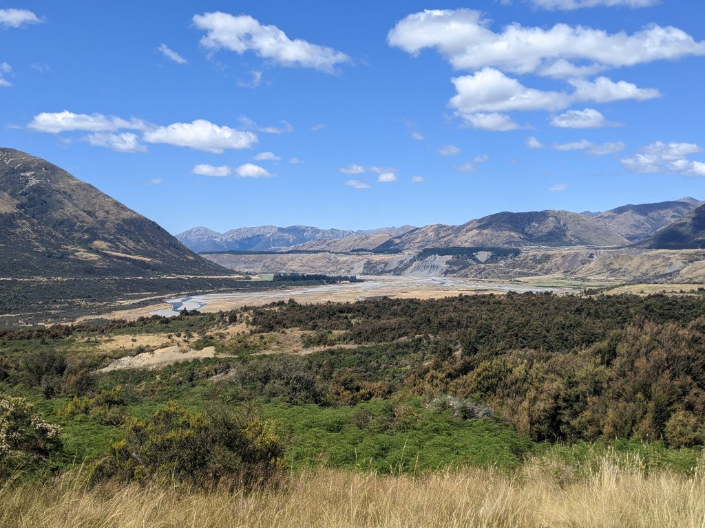
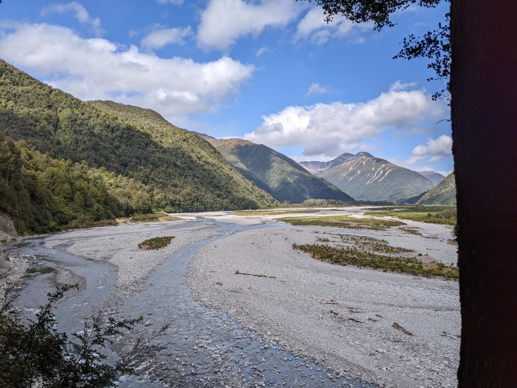
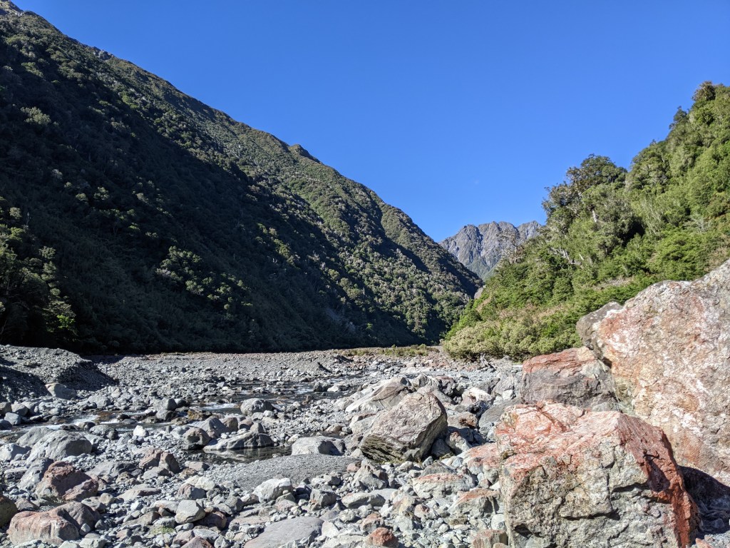
We set off together given the river crossings and it didn’t take long for our feet to get soaked in frigid water. The first part of the day was along the river and through the river bed. My achilles wasn’t happy this morning and walking in the rocky river bed didn’t help things. We didn’t exactly stick to the official trail since some of the comments suggested that the Taramakau was easier to cross further along and this also avoided crossing the Otehake river. We sort of just picked our own way down the Taramakau until it seemed like a good spot to cross. The water was thigh deep at the deepest spot and the current was swift but not crazy. We all got across safely. Back on the official track, it was a bit of meandering through the flats before hitting a section of trail that was in the forest and full of stupidly steep ups and downs over eroded rocky and rooty terrain.
At least the climbs and descents were short and I would have better enjoyed the challenge of figuring out how to move through the tough terrain if it hadn’t been for my heel. It was a very slow few kms and we were all glad when these were over and it was a flat 1.5 km to Morrison bridge. I felt drained when I got there and made the decision to exit the trail and hitch to Arthur’s Pass since the highway is accessible here. Lea was the only one who continued on the track while Jaime, Mario and I got a ride to the village. We went straight to the cafe and had some lunch before checking into the hiker haven here called The Sanctuary. Bill and Linda who run the place are absolutely lovely and welcoming. I know that my Achilles needs more rest and that I likely have to do much shorter days in order for it to get better, so my plan is to complete this section and then go rest somewhere for a few days. Bill drives hikers up to Morrison bridge every morning so that they can slack pack (just carry a bag with a few essentials for the day) for the last part of the track. So I’ll do that, spend another night here and then go somewhere else to rest for a few more days since Arthur’s Pass is tiny and doesn’t have much in the way of amenities or services.
Day 115: Slack pack over Goat’s Pass
It was another chilly morning as Bill drove me and five others to Morrison bridge for a 7:30 am start. The trail follows the banks and river bed of the Deception River and crosses it multiple times. The water level was low so the crossings were straightforward although frigid
The track climbs quite gradually to start with but the last few kms before Goat Pass were steeper. The track was also harder to follow here and it seemed like a choose your own adventure of boulder scrambling along or in the river.
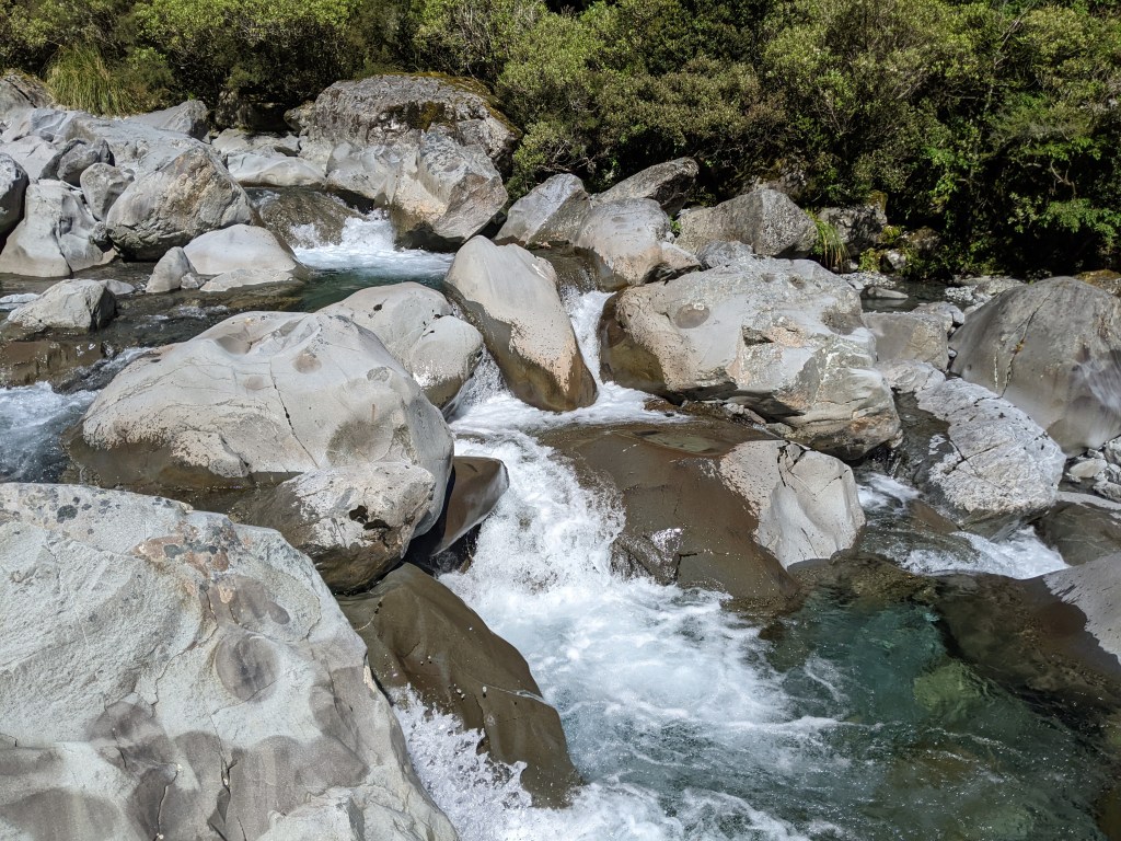
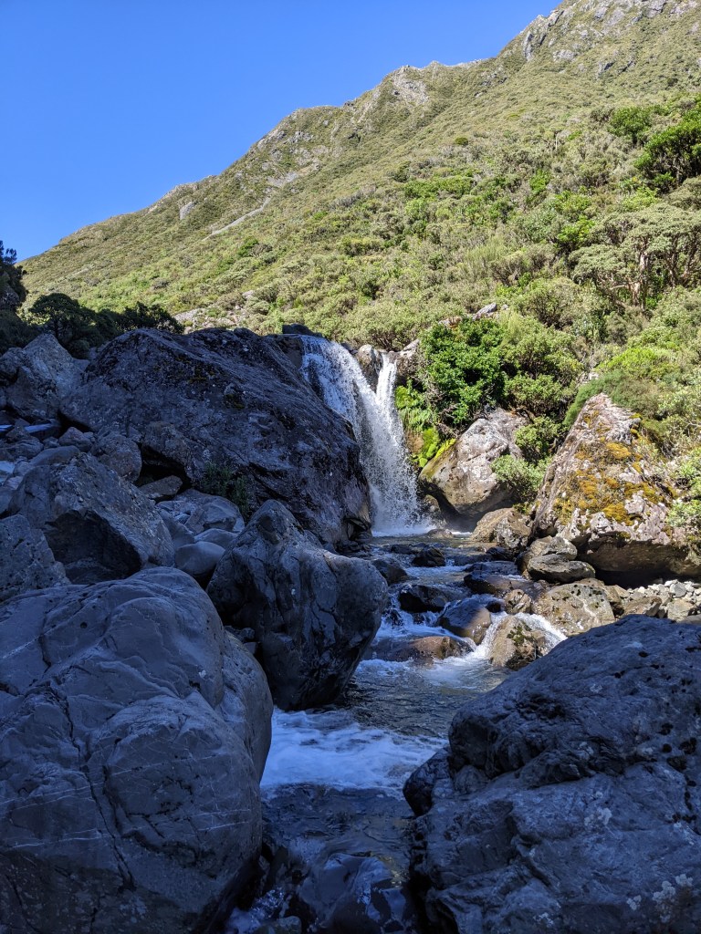
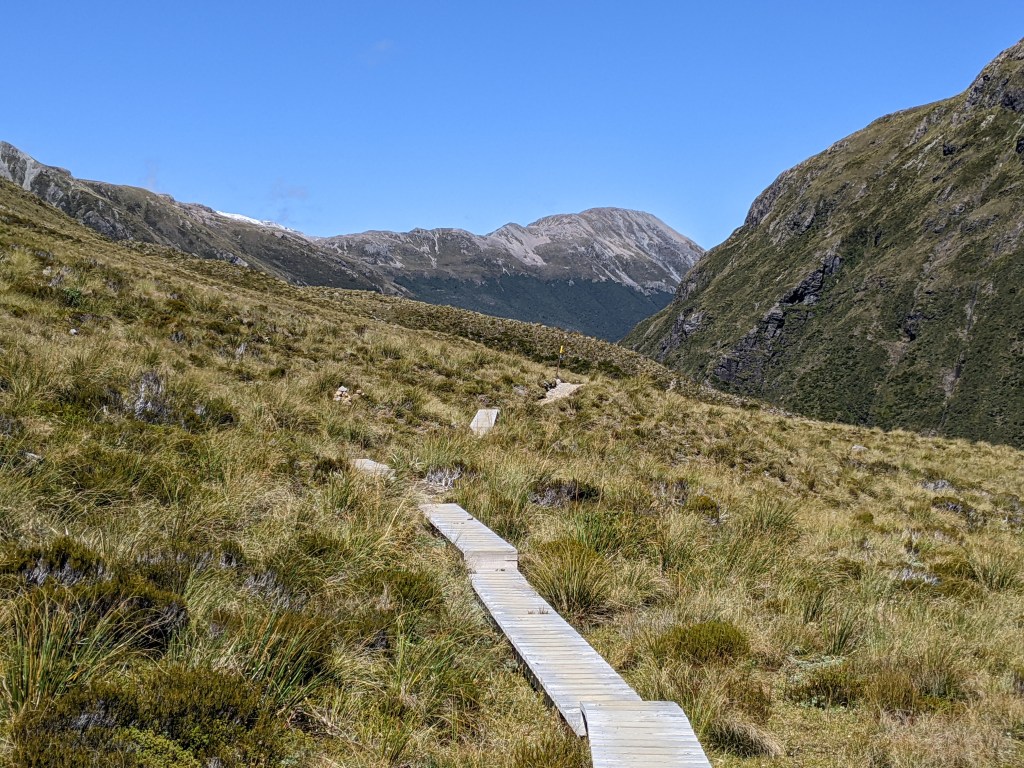
Although the current was swift in places and there were even waterfalls, there was always a calmer place to cross. I arrived at Goat Pass hut just in time for lunch. After eating, it was a short climb up to the pass, which has some boardwalks, making the trail relatively easy
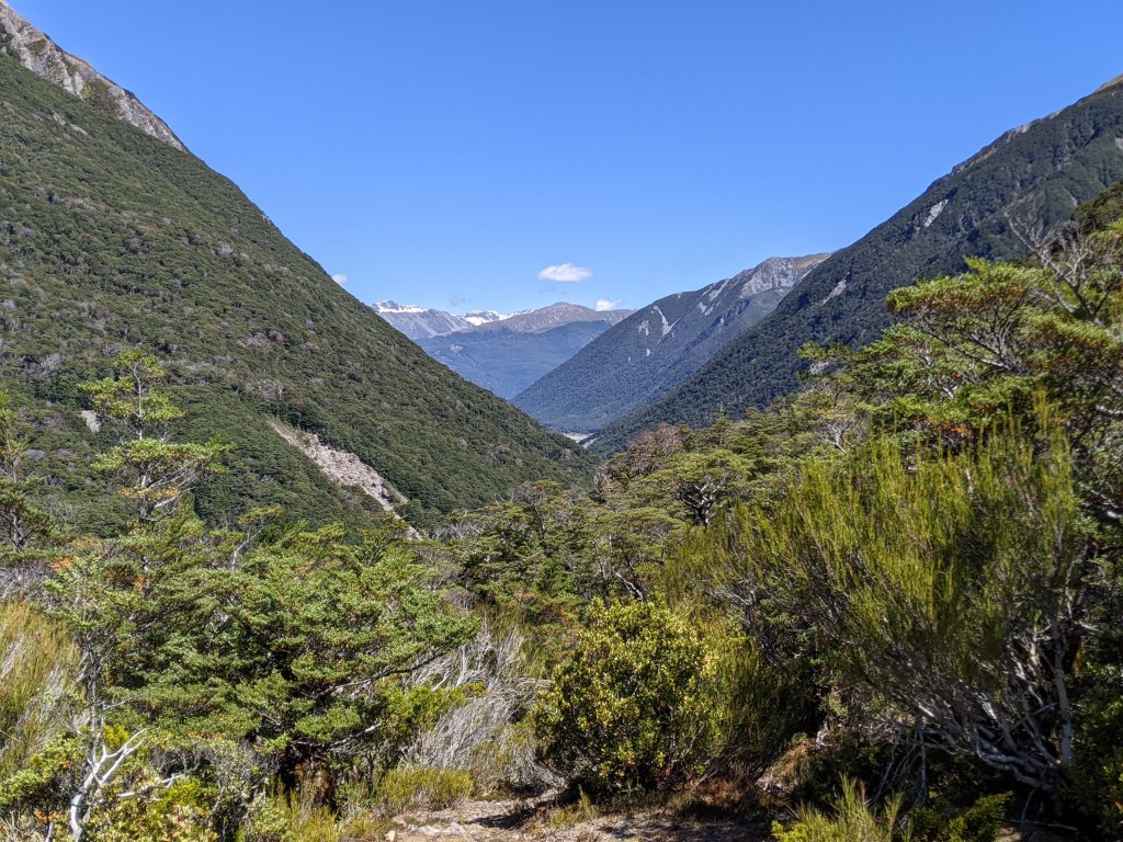
The track goes down to the Mingha River from the pass and follows this river back to where it meats the Beaky River and skirts the highway. Although it was mostly downhill, there was a knob that offered some views up and down the valley.
At the highway, I got a hitch back to Arthur’s Pass. I was back in time to get an early dinner from the cafe that only opens from 4-6 pm due to staff shortages. I also booked a shuttle to Christchurch for the morning and an Airbnb there for three nights. Since I’ll likely pick up the trail again further south after my break, I picked up my food box (the last of 4 that I had mailed from Wellington), which I had mailed to The Sanctuary. It’s too bad that I’ll have to lug the food to Christchurch, but it makes sense to keep it with me for when I do head back to trail.

Leave a comment